
Weather and Storms
A Guide For Hurricane Preparedness
Posted on 09/07/2017 in Weather and Storms.
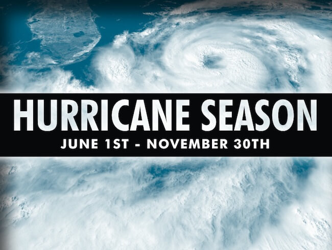
Hurricane season begins on June 1st and lasts through November. As with every hurricane season regardless of forecast, knowing the essentials of how to prepare could truly be a lifesaver. With Hurricane Irma expected to touch landfall this weekend, there is no better time to review what’s involved in hurricane preparedness.
Following are some terms you may hear used during this time:
Hurricane Watch: Hurricane conditions are possible in the area. Watches are issued 48 hours in advance of the anticipated onset of tropical storm force winds.
Hurricane Warning: Hurricane conditions are expected in the area. Warnings are issued 36 hours in advance of tropical storm force winds.
Eye: Clear, sometimes well-defined center of the storm with calmer conditions.
Eye Wall: Surrounding the eye, contains some of the most severe weather of the storm with the highest wind speed and largest precipitation.
Rain Bands: Produce severe weather conditions such as heavy rain, wind and tornadoes.
Storm Surge: An often underestimated and deadly result of ocean water swelling as a result of a storm that reaches landfall. A storm surge cause flooding along the coast and sometimes areas further inland.